City planning graduate students publish emergency access and evacuation report for the Berkeley Hills
The report recommends parking regulations, improved transit options, and interagency cooperation for the dense, fire-prone Berkeley Hills.
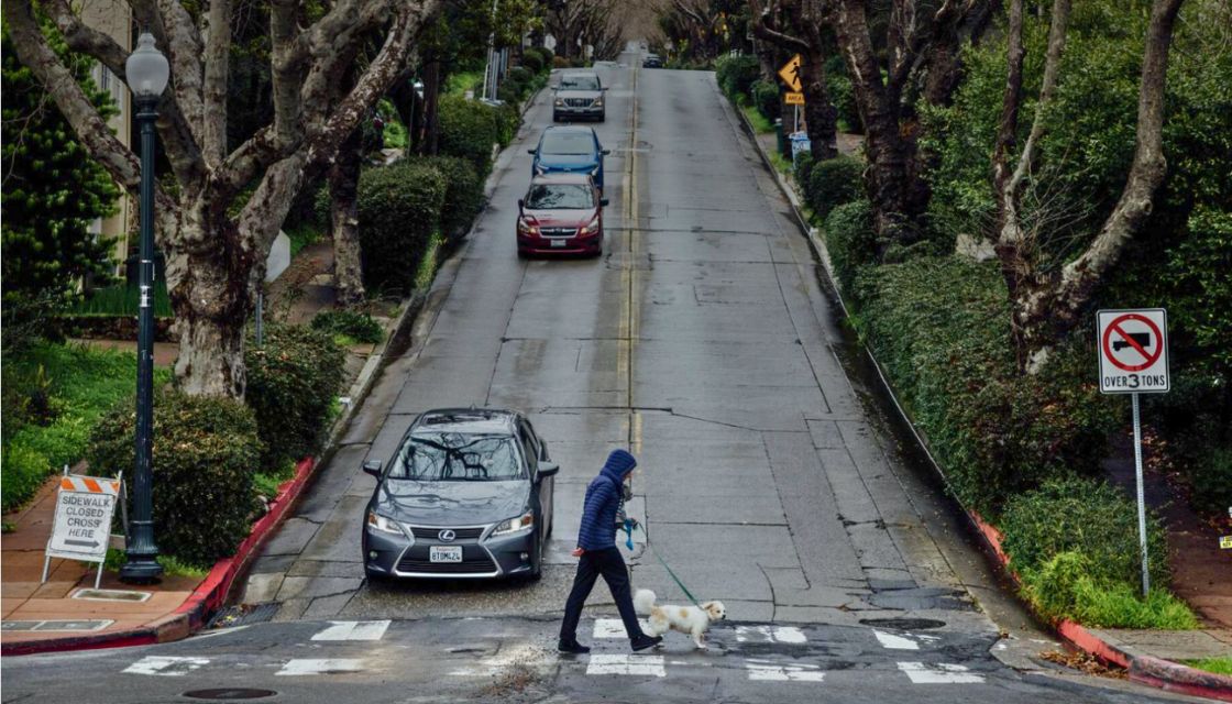
“Getting In, Out, and About,” by Morgan Cunneen-Franco (MCP 2025), Lisa Schroer (MCP 2025), and Esteban Villaseñor (MCP 2025), analyzes the Berkeley Hills and recommends strategies to improve pedestrian safety, emergency vehicle access, and evacuation routes in the dense residential area.
“Emergency response and street safety can, and should, be complementary endeavors,” says Villaseñor. “For example, traffic calming can be used to make streets safer and improve navigability for emergency vehicles.”
Produced for Associate Professor of City & Regional Planning Karen Trapenberg Frick’s fall transportation planning studio, the report is based on professional interviews, scholarly research, and case studies in similar cities.
“Decades of growth in the Berkeley Hills, characterized by high fire risk, result in the need for improved street safety and emergency access. Our report parses these overlapping needs and recommends a diverse set of policy and infrastructure suggestions to fulfill both of the city’s obligations,” says Cunneen-Franco.